Plex-Earth Lightens the Load of Solar Farm Design
Selecting a site for solar power is much easier than placement for capturing wind power, but finding a spot with access to the sun is just the start of the challenge. Avoiding shaded areas is obvious, but what about other considerations, such as:
· Terrain inclination, to maximize solar potential throughout the year
· Proximity to main power lines and other infrastructure
· Easy access for servicing and cleaning
· Location security and safety issues
Accounting for factors like the above can make the difference between the sun bathing your project with success, or you burning up your budget – or worse!
So let’s look at how Plex-Earth can help you select your solar project’s best-fit location, and beyond:
Solar Site Evaluation – Take a Look
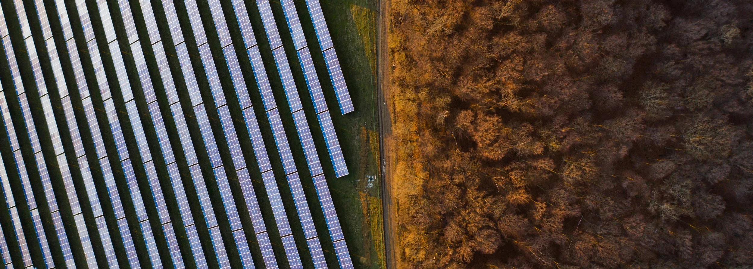
As a visualisation platform, Plex-Earth gives you access to updated satellite, airplane and even custom drone photography. Providers Include famous names like Nearmap, Airbus and Maxar, along with the InFlights drone network. This means that you or your team – from inside AutoCAD – can easily scope out large areas, then zoom in for more much higher detail, without switching programs or losing resolution.
Show Off Your Vision

We make it super-simple to export your CAD panel models into Google Earth’s 3D environment, making it very easy to explain and show how things will look, even from specific viewpoints such as a road junction.
As Plex-Earth also brings you premium, professional imagery, most of our providers will automatically grant you full, legal usage-rights, such as for brochures and project proposals.
In full 3D, Revealing the Best Locations
Our 3D topographical data also comes from a variety of providers, and can be also be easily understood by colleagues, and later by stakeholders, as Plex-Earth will visually display such terrain data by contour-lines or 3D mesh.
If earth-works are required then Plex-Earth easily calculates soil volumes with a mouse-drag and click, but perhaps the killer feature is our FilterView system. FilterView allows you to show only the areas of terrain most suitable for solar panels. Here’s how:

FilterView has many uses for solar, from avoiding unnecessary expense or landscape disruption, to maximizing energy output.
You can specify the ideal slope range of angles for your PV panels, such as 0 - 25 degrees, and then specify the ideal range of direction, also in degrees. Plex-Earth will then highlight all areas of the project site that are facing a suitable direction and at a suitable angle. Easy!
Have an Eye on Your Project
As solar farming projects can be major in scope, covering huge areas and taking years to complete, our frequently-updated satellite photography can be the ideal and affordable way to keep track of progress remotely.
You may also be surprised how affordable it can be to use our platform to select an area, and then order a custom drone flight, for incredible, high-resolution imagery and data!
And Keep An Eye On It
Unexpected algae, vegetation-growth, dust or other energy-robbing contamination can be spotted in-between scheduled maintenance, so you can selectively tackle problem areas before they lead to serious degradation of performance, or even panel damage.
Recap of Essential Features:
· Display Your Project Area in AutoCAD, with Updated, Hi-Res Aerial Photography
· Multiple Imagery and Terrain Providers, inc Maxar, Airbus, Nearmap and Hexagon
· Easy Quotation, Booking and Importing of Custom Drone Flight Photos and Data
· Long or Wide Projects with Seamless Auto-Alignment of Multiple Images
· Design with Confidence, with Visual, 3D Terrain Data (mesh or contours)
· Help Communicate Your Designs to Non-Technical Stakeholders
· Easy Calculation of Soil Volumes Avoids Excessive Earthworks
· Avoid Hazards, Re-Work or Design Redundancies
· Monitor During and After Your Projects
Conclusion:
By providing an all-inclusive platform of 3D topographical maps, aerial and satellite photography, even custom drone flights, Plex-Earth makes it much easier to quickly appraise solar power potential, plan and design efficiently, communicate with all stakeholders and then keep an eye on your project.